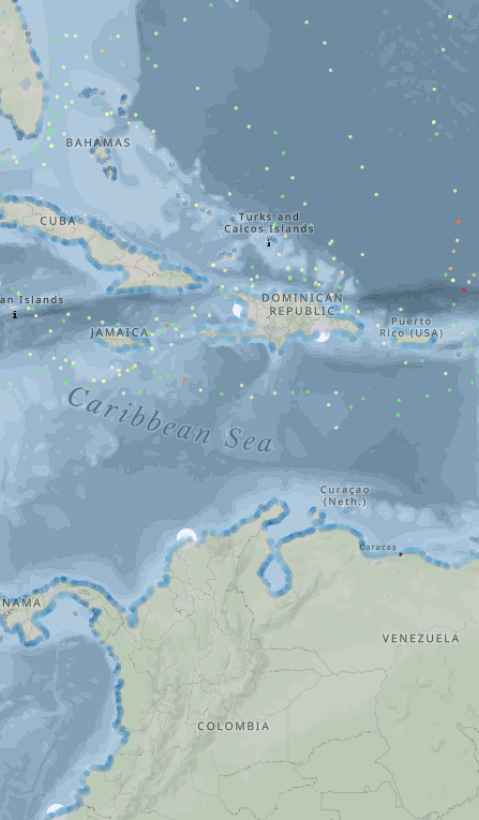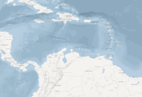
The PROMAR project with colaboration of GRID Geneva aims to establish a comprehensive regional monitoring network and information system focused on marine litter and plastic pollution in the Caribbean Sea. This initiative will facilitate informed decision-making among countries by providing access to relevant data, resources, and tools through an innovative online knowledge platform.
We encourage everyone who is interested and capable to provide data.
Decision and Data Management
DECISION XI
Data and Information Management
- Promotion of Knowledge Sharing
The Secretariat and Regional Activity Centres (RACs) are requested to enhance efforts to facilitate the sharing of best practices, lessons learned, guidelines, manuals, and other knowledge management resources in the three working languages of the Convention. This initiative aims to strengthen science-based decision-making and harmonize monitoring efforts across the region. - Capacity Building for Data Management
The Secretariat, in collaboration with regional and international partners as appropriate, is encouraged to support efforts that bolster national and regional capacity for data and information management. This includes activities focused on monitoring coastal and marine resources within the Wider Caribbean Region.
RECOMMENDATION V
Knowledge Management, Data, and Information Management
- Strengthening Synergies and Sustainability
The Secretariat should continue fostering synergies among various projects, including GEF IWEco, GEF CReW+, GEF LAC Cities, and PROMAR. These efforts should support the ongoing development of the regional data and information management platform. To ensure the platform's long-term sustainability, the Secretariat is encouraged to organize training courses and capacity-building activities for stakeholders.
Development of a Regional Monitoring Network
- Goal: To create a robust network for data collection on marine litter and plastic pollution.
- Action: Engage in individual discussions to identify data needs and sources.
Creation of an Information System
Goal: Develop an online platform that serves as a central hub for information on marine litter.
Features:
- Geospatial data
- Dashboards for data visualization
- Access to relevant documents and resources
- Updates on events and news related to marine pollution
Activities
The initial phase includes analyzing and inventorying existing programs to identify synergies, followed by consultations with countries and regional agencies to define essential data types, thereby creating a technical blueprint for the monitoring platform. Next, a framework paper will contextualize the platform within relevant standards and frameworks.
The project then moves to the development and launch of an online platform, scheduled from September 2024 to March 2026, enabling marine litter monitoring. Capacity building follows, with a workshop planned for the end of 2026 to train local partners on platform usage and tools, facilitating ownership transfer. Throughout, project administration will monitor progress, while IT maintenance will ensure data security and platform reliability. This comprehensive approach aims to ensure effective regional adoption and sustained impact.
MapX is used for geospatial data management, maps, and story maps. Managed by UNEP/GRID-Geneva, MapX is an open-source platform designed for geospatial data visualization and decision-making in environmental contexts. Supporting all six official UN languages and others, it integrates official UN borders to ensure consistency in cartographic representation. Built on MapBox and GeoServer, MapX offers over 1,900 public data layers for tasks like data analysis, storytelling, and project collaboration. It adheres to open data standards, works in low-bandwidth settings, and is freely available under the GPLv3 license, enabling easy integration into other systems while promoting accessibility for diverse users.
Apache Superset is an open-source business intelligence tool that enables users to create and share interactive dashboards and charts based on statistical information. It supports comparing data across countries or regions, helping to uncover trends, statistics, and key insights. With compatibility for various data sources, Superset is a flexible solution for visualizing and exploring data to support informed decision-making.
What is a Story Map?
A dynamic way to explore data and narratives
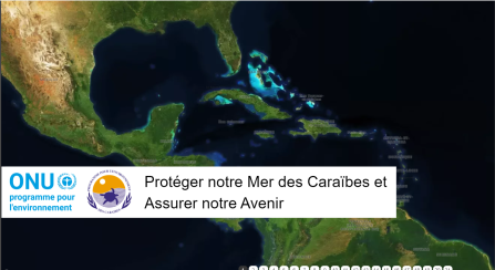
Story maps are interactive tools that blend geospatial data, visualizations, and descriptive narratives to present complex information in an engaging and user-friendly format. They help users connect spatial insights with meaningful context, making them invaluable for understanding environmental challenges and solutions.
Why Were These Story Maps Developed?
Supporting informed decision-making in the Caribbean region
The story maps linked here were specifically designed to enhance understanding of critical environmental challenges in the Caribbean. They aim to empower stakeholders with science-based insights to guide effective policy-making and resource management.
How to Navigate the Story Maps
Click on the story maps in English, French, and Spanish below.
