El proyecto PROMAR, con la colaboración de GRID Ginebra, tiene como objetivo establecer una red regional integral de vigilancia y un sistema de información centrado en los desechos marinos y la contaminación por plásticos en el Mar Caribe. Esta iniciativa facilitará la toma de decisiones informadas entre los países proporcionando acceso a datos, recursos y herramientas relevantes a través de una innovadora plataforma de conocimiento en línea.
Animamos a todo aquel que esté interesado y capacitado a aportar datos.
Gestión de decisiones y datos
DECISIÓN XI
Gestión de datos e información
- Fomento del intercambio de conocimientos
Se solicita a la Secretaría y a los Centros de Actividad Regional (CAR) que intensifiquen sus esfuerzos para facilitar el intercambio de mejores prácticas, lecciones aprendidas, directrices, manuales y otros recursos de gestión del conocimiento en los tres idiomas de trabajo de la Convención. Esta iniciativa pretende reforzar la toma de decisiones con base científica y armonizar los esfuerzos de seguimiento en toda la región. - Capacitación para la gestión de datos
Se anima a la Secretaría a que, en colaboración con los socios regionales e internacionales según proceda, apoye los esfuerzos que refuercen la capacidad nacional y regional para la gestión de datos e información. Esto incluye actividades centradas en la vigilancia de los recursos costeros y marinos dentro de la Región del Gran Caribe.
RECOMENDACIÓN V
Gestión de conocimientos, datos e información
Fortalecimiento de las sinergias y la sostenibilidad
La Secretaría debería seguir fomentando las sinergias entre los diversos proyectos, incluidos IWEco del FMAM, CReW+ del FMAM, Ciudades de ALC del FMAM y PROMAR. Estos esfuerzos deberían apoyar el desarrollo en curso de la plataforma regional de gestión de datos e información. Para garantizar la sostenibilidad a largo plazo de la plataforma, se anima a la Secretaría a organizar cursos de formación y actividades de capacitación para las partes interesadas.
Desarrollo de una red regional de vigilancia
- Objetivo: Crear una sólida red de recogida de datos sobre basuras marinas y contaminación por plásticos.
- Acción: Entablar conversaciones individuales para determinar las necesidades y fuentes de datos.
Creación de un sistema de información
Objetivo: Desarrollar una plataforma en línea que sirva de eje central para la información sobre desechos marinos.
Características:
- Datos geoespaciales
- Cuadros de mando para la visualización de datos
- Acceso a documentos y recursos pertinentes
- Información actualizada sobre eventos y noticias relacionados con la contaminación marina
Actividades
La fase inicial incluye el análisis y el inventario de los programas existentes para identificar sinergias, seguido de consultas con países y organismos regionales para definir los tipos de datos esenciales, creando así un anteproyecto técnico para la plataforma de seguimiento. A continuación, un documento marco contextualizará la plataforma dentro de las normas y marcos pertinentes.
A continuación, el proyecto pasa al desarrollo y lanzamiento de una plataforma en línea, prevista de septiembre de 2024 a marzo de 2026, que permita el seguimiento de los desechos marinos. A continuación se desarrollará la capacidad, con un taller previsto para finales de 2026 para formar a los socios locales en el uso de la plataforma y las herramientas, facilitando la transferencia de la propiedad. En todo momento, la administración del proyecto supervisará los avances, mientras que el mantenimiento informático garantizará la seguridad de los datos y la fiabilidad de la plataforma. Este enfoque integral pretende garantizar una adopción regional efectiva y un impacto sostenido.
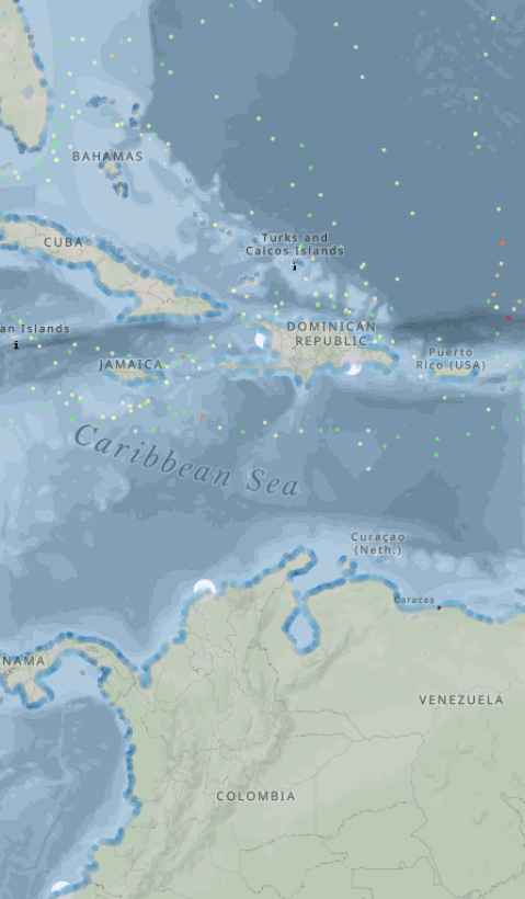
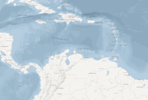
MapX se utiliza para la gestión de datos geoespaciales, mapas y story maps. Gestionada por PNUMA/GRID-Ginebra, MapX es una plataforma de código abierto diseñada para la visualización de datos geoespaciales y la toma de decisiones en contextos medioambientales. Compatible con los seis idiomas oficiales de la ONU y otros, integra las fronteras oficiales de la ONU para garantizar la coherencia en la representación cartográfica. Basada en MapBox y GeoServer, MapX ofrece más de 1.900 capas de datos públicos para tareas como el análisis de datos, la narración de historias y la colaboración en proyectos. Se adhiere a los estándares de datos abiertos, funciona en entornos de bajo ancho de banda y está disponible gratuitamente bajo la licencia GPLv3, lo que permite una fácil integración en otros sistemas al tiempo que promueve la accesibilidad para diversos usuarios.
Apache Superset es una herramienta de inteligencia empresarial de código abierto que permite a los usuarios crear y compartir cuadros de mando y gráficos interactivos basados en información estadística. Permite comparar datos de distintos países o regiones, lo que ayuda a descubrir tendencias, estadísticas y perspectivas clave. Gracias a su compatibilidad con diversas fuentes de datos, Superset es una solución flexible para visualizar y explorar datos con el fin de respaldar una toma de decisiones informada.
¿Qué es un Story Map?
Una forma dinámica de explorar datos y narraciones
Los mapas de historias son herramientas interactivas que combinan datos geoespaciales, visualizaciones y narraciones descriptivas para presentar información compleja en un formato atractivo y fácil de usar. Ayudan a los usuarios a conectar la información espacial con un contexto significativo, lo que los convierte en una herramienta inestimable para comprender los retos y las soluciones medioambientales.
¿Por qué se crearon estos mapas?
Apoyar la toma de decisiones informadas en la región del Caribe
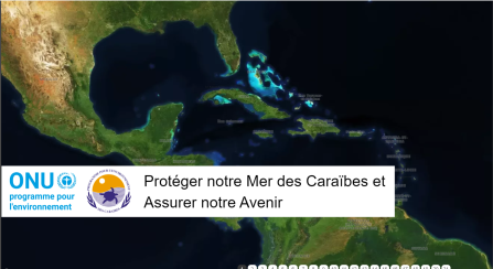
Los mapas de historias enlazados aquí se diseñaron específicamente para mejorar la comprensión de los retos medioambientales críticos en el Caribe. Su objetivo es dotar a las partes interesadas de conocimientos científicos para orientar la elaboración de políticas y la gestión de recursos eficaces.
Cómo navegar por los mapas de historias
Haga clic en los story maps en inglés, francés y español que aparecen a continuación.
